The weather cooperated nicely this weekend for a hike in the Sandia Mountains. Sunny with tolerable wind and the thermometer dangling from my pack reading 60 as I shuffled up Tunnel Springs trail. Even the East Coast news guy on morning TV checking the national forecast map said, “It looks like the Southwest is the place to be.” Well maybe, maybe not, since our mountains again show only white tips instead of the deep snow cover ready to feed streams, rivers and irrigation systems with the spring melt.
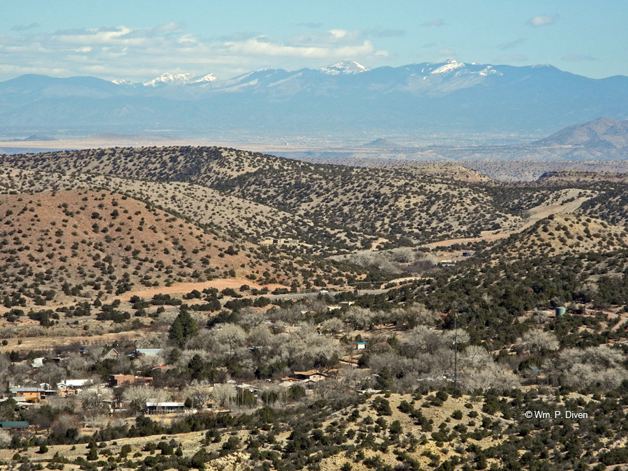
From the trail above Placitas nothing blocks the view northeastward to the Sangre de Cristo Mountains rising behind Santa Fe.The snowfields on the right mark Lake Peak and the ridges around Ski Santa Fe. The summit prominent in the middle is Santa Fe Baldy, one of the state’s tallest at 12,631 feet. Off to the left are Pecos Baldy and the Truchas Peaks 40 or so miles south of Taos. Out of view father north are Taos Ski Valley and the state’s tallest mountain, 13,159-foot Wheeler Peak.
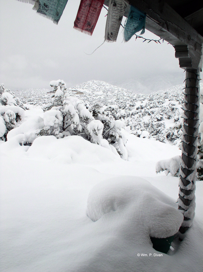
Yep, gotta love the beauty of New Mexico. All that’s missing is snow, again, like last year. The prospects for next year are anyone’s guess, but the consensus seems to be that recovering from this drought is more than a one-season affair. Farmers, environmentalists, ski areas and folks reliant on snowmelt for drinking water and livelihood are focused on the moment amid mounting chatter about bracing ourselves for a drier future.
On Friday the feds announced a cutoff of water to California’s Central Valley, so without a massively snowy spring in the Sierras, there goes some significant percentage of the nation’s fresh produce. At least rain and snow are in the current forecast there. No so here. Albuquerque is just off a record 43 days without rain or snow and a January the driest statewide since 1895 with precip “well below normal to nonexistent,” the National Weather Service reported. This is after record rains with hurricane-force winds in September unleashed deadly flooding that at least filled reservoirs on the Pecos River above Carlsbad and ended–for now–a water war between neighboring irrigation districts.
The upside, if you can call it that, of sunny days and temperatures 5 to 15 degrees above average? No pipes bursting in walls or cutoffs of natural gas for home heating like our deep freeze of two winters ago. No 2-3 feet of snow stranding travelers and isolating communities and ranchers’ herds like seven winters ago. I’d add no big heating bills for those of us on propane although that cost is up 30 percent from last fall driven by high demand everywhere from Atlanta to Bangor.
The real upside? Proving Mark Twain wrong when he said everyone talks about the weather, but nobody does anything about it. While it matters not whether we’re in the predicted moods of climate change or just another drought like the one that drove puebloan ancestors out of their stone city at Chaco Canyon, our county government is looking ahead. The developers who carved up scrubby ranchland to create what is now the city of Rio Rancho platted another 43,000 acres of paper grids currently contained between the western city limits and the escarpment dropping into the valley of the Rio Puerco. Sandoval County planners know there’s not enough water beneath the scrub to support that kind of population and hope to set aside a big chunk of land as a water-conservation zone. Now we’ll see how that goal plays out against the usually winning pressures to develop and sprawl across the parched desert landcape.


See: EL NIÑO/SOUTHERN OSCILLATION (ENSO) DIAGNOSTIC DISCUSSION
issued by NOAA CLIMATE PREDICTION CENTER/NCEP and the International Research Institute for Climate and Society, 6 March 2014. (http://www.cpc.ncep.noaa.gov/products/analysis_monitoring/enso_advisory/) ENSO Alert System Status: El Niño Watch (Issued when conditions are favorable for the development of El Niño or La Niña conditions within the next six months):
Synopsis: ENSO-neutral is expected to continue through the Northern Hemisphere spring 2014, with about a 50% chance of El Niño developing during the summer or fall.
Note that “El Niño conditions” are defined as existing when: a one-month positive sea surface temperature anomaly of 0.5C or greater is observed in the Niño-3.4 region of the equatorial Pacific Ocean (5ºN-5ºS, 120ºW-170ºW) and an expectation that the 3-month Oceanic Niño Index (ONI) threshold will be met and an atmospheric response typically associated with El Niño is observed over the equatorial Pacific Ocean (see The ENSO Cycle: http://www.cpc.ncep.noaa.gov/products/analysis_monitoring/ensocycle/enso_cycle.shtml).